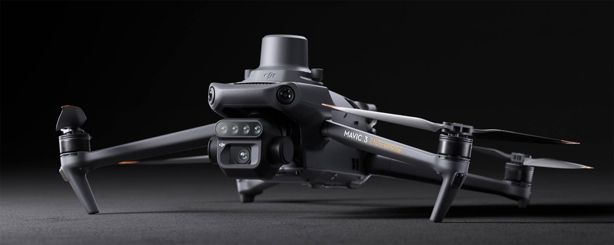
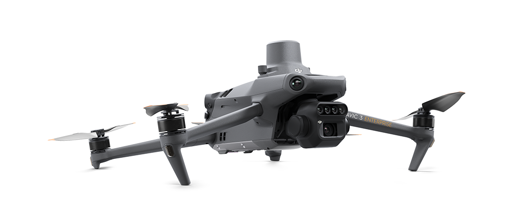
The DJI Mavic 3M drone lets you see better than ever. With two forms of sight that combine an RGB camera with a multispectral camera, the Mavic 3M drone can clearly scan and analyze large natural areas.
The Mavic 3M features a sunlight sensor to render more accurate NDVI results by allowing light compensation during 2D reconstruction. The RTK module provides centimetre-level positioning to capture high-precision aerial surveying.
The Mavic 3M has the capacity for automatic field scouting that can find abnormalities, such as emergence deficiencies, weed pressure, and crop lodging. With the power of AI identification, the Mavic 3M can identify real-time sharing of crop growth information and the guidance of agronomic activities. This allows for the easy management of up to 70 hectares of farmland.
Multispectral: Equivalent Focal Length: 25mm, 5 MP
RGB: Equivalent Focal Length: 24mm, 20MP, 4/3 CMOS
From CAD
$5,945*
- Mavic 3M Drone with 1 Year Basic Care
- 1 x Battery
- 1 x RTK Module
- Spare Parts
*Excluding applicable taxes and shipping